Copthill School
Copthill Farm, Uffington, Lincolnshire
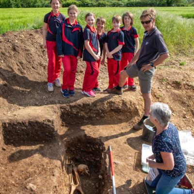
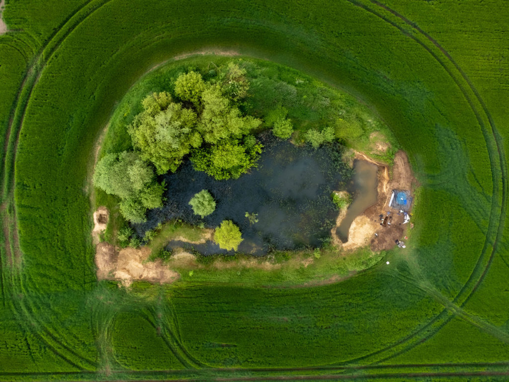
Reclaim Heritage has been working with Copthill School to understand the archaeology and history of the area. Our investigations began in April 2024 when we excavated a grave in a gravel quarry near Copthill Farm, prompting a geophysical survey and small excavations nearby. In September we found part of a Roman cemetery, a Roman farmstead and possible trackway, and roundhouses from an extensive, well-preserved Middle Iron Age settlement.
Pit Field Cemetery
Disarticulated human bones belonging to two individuals were first found on the farm during gravel quarrying at Pit Field in October 2023. Over winter the gravel sections around the edge of the quarry had weathered out causing more human remains to fall in.
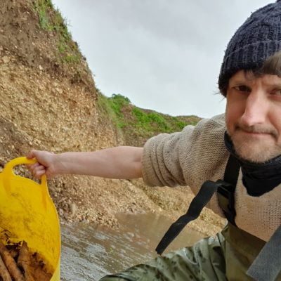
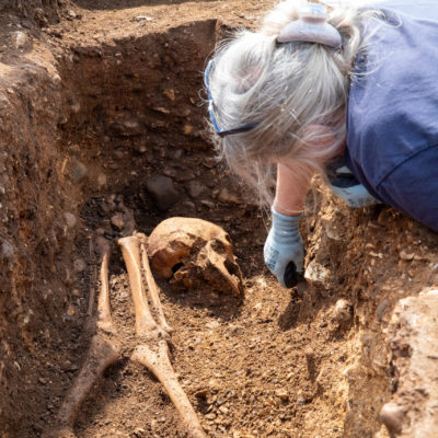
Chris visited the site in April 2024 to recover the bones from the bottom of the pit and assess the situation. A Ground Penetrating Radar survey was first done of the area to see if any more graves could be detected beneath the current ploughzone, but the underlying geology proved unsuitable for this technique. Therefore it was agreed that a small trench would be excavated archaeologically to work out (a) if the burials continued, indicating a more extensive cemetery and (b) what more we could tell about the lives of those buried there.
The excavated grave held the decapitated remains of a middle-aged man (45-55+ years old), probably buried in a shroud with no sign of a coffin. He would have been about 1.65m (5ft 5in) tall and was buried in a supine position (on his back) lying north to south with his head placed at the south end next to his feet .
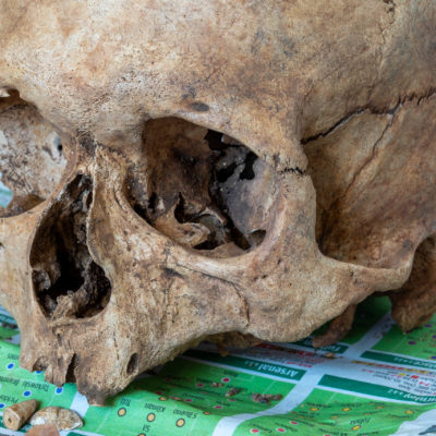
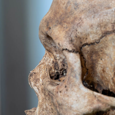
He was not a well man at time of death. There were signs of a chronic sinus infection and a range of tooth decay and abscesses on the mandible. Only two well-worn stubs of incisors remained on the maxilla, the rest lost well before death. The spine showed signs of osteoarthritis from top to bottom and bony growths (bunions) on both big toes suggests he likely suffered pain in walking.
The decapitation had occurred around the third vertebrae, which was only partially intact so impossible to accurately say whether this was the cause of death. Lack of signs for healing on the bones and no direct evidence for blunt force trauma, together with the fact that the grave was carefully laid out, may indicate the decapitation was made after death with a blade (rather than a sword or axe) as part of the funerary ritual.
We’re not sure when the individual died because no artefacts were found to date it. Based on the style of burial and a small collection of Roman pottery found nearby, the grave was likely made in the Roman or Anglo-Saxon period. We’ve sent a sample for radiocarbon (C14) dating in an Accelerator Mass Spectrometer (AMS). *More details on this to follow*
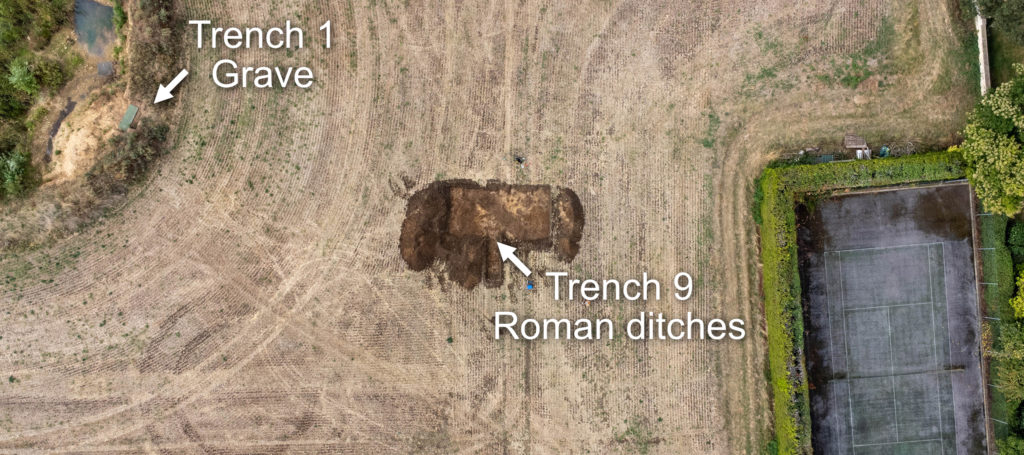
A small trench was excavated between the pit and tennis court in September. The aim was to strip the ploughsoil (0.3m deep) with a machine excavator to identify and map some cropmarks that were recorded on aerial images from July 2020. No archaeological features were excavated but small sherds of Roman pottery were collected from the tops of the features on the historic imagery, indicating they are at least as old as that.
Further fieldwork would be needed to establish the relationship between the ditches in Trench 9; one crosses the other at an odd angle and position, meaning one must surely be older than the other. The date of the grave will rely on the results of the AMS dating. It may be contemporary with the two phases of ditch construction or may be completely unrelated.
Iron Age Settlement
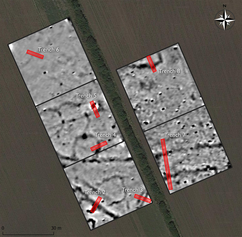
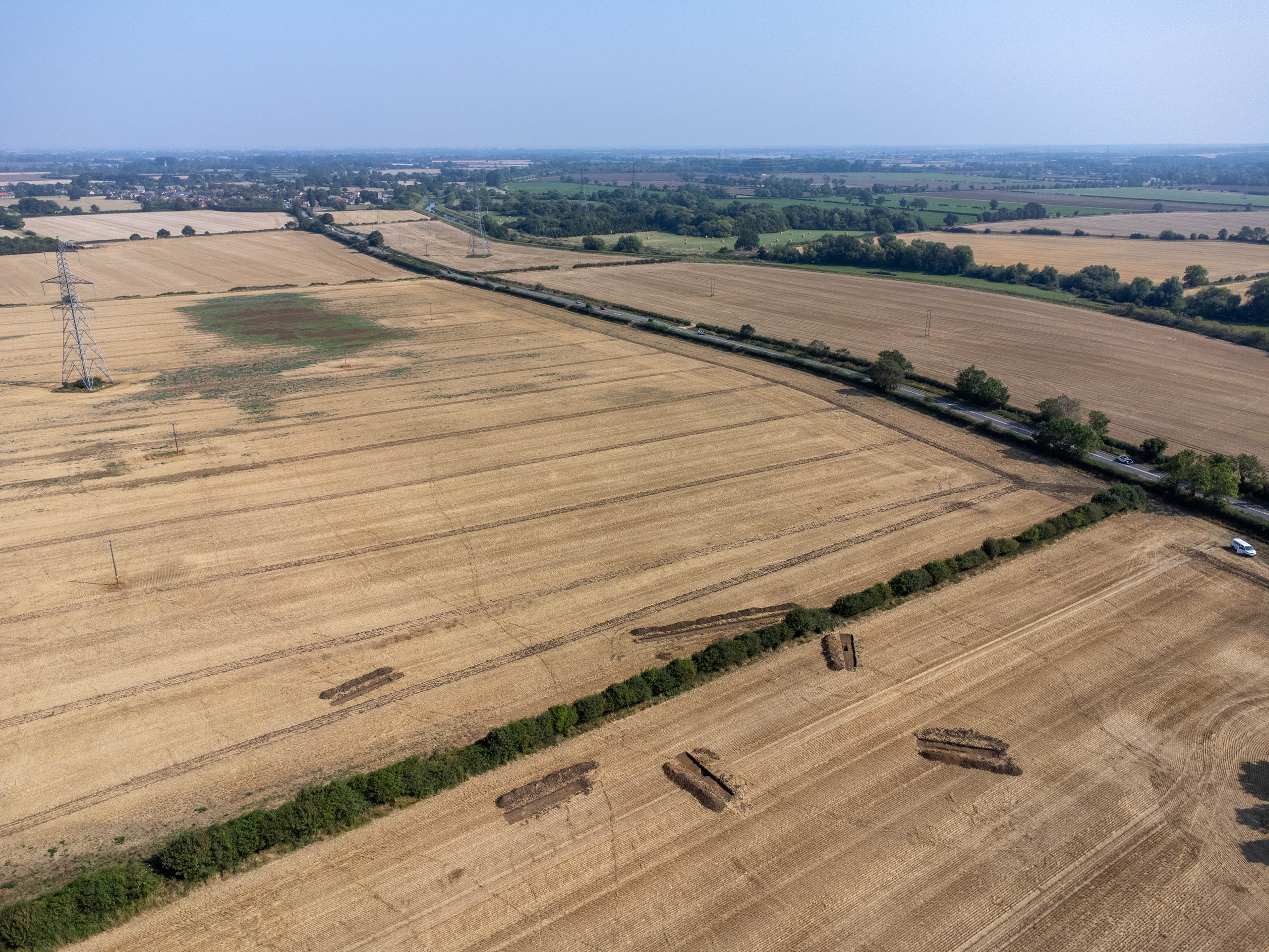
Copthill School have been fieldwalking part of the farm north of the farm, 500m northeast of the the grave. Pupils have been collecting sherds of Roman pottery each year after the land had been freshly worked. We conducted a magnetic gradiometer survey over the area with the greatest concentration of pottery to see if we could identify any archaeological deposits.
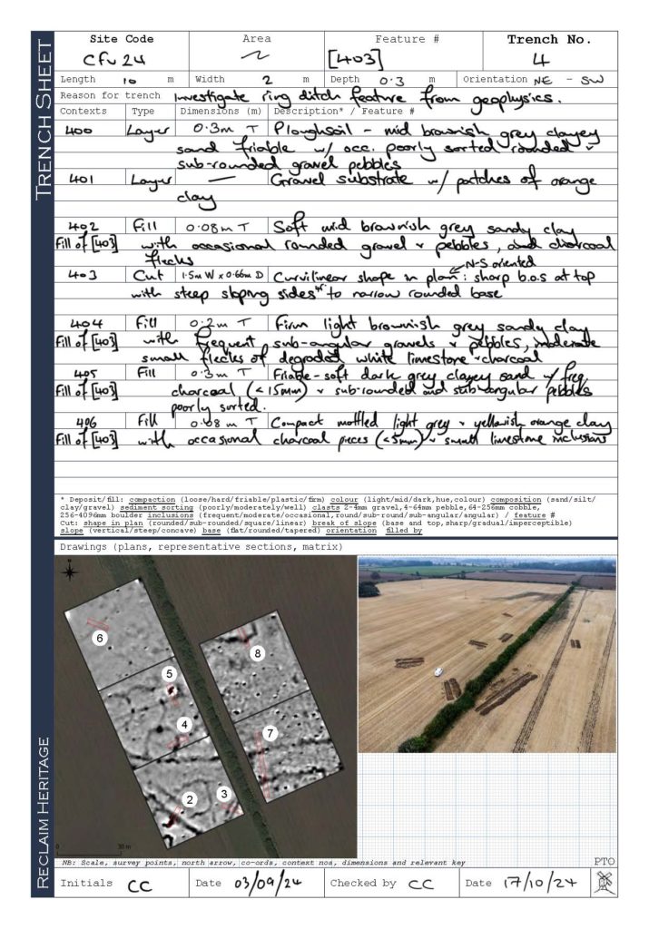
The survey was successful, revealing numerous linear trends and anomalies hidden beneath the ploughsoil. The image here illustrates archaeological features as darker areas with proposed trenches for excavation (numbered red rectangles). These subtle changes are caused by magnetic properties in disturbed soils below the ground, such as ditches, pits and ovens.
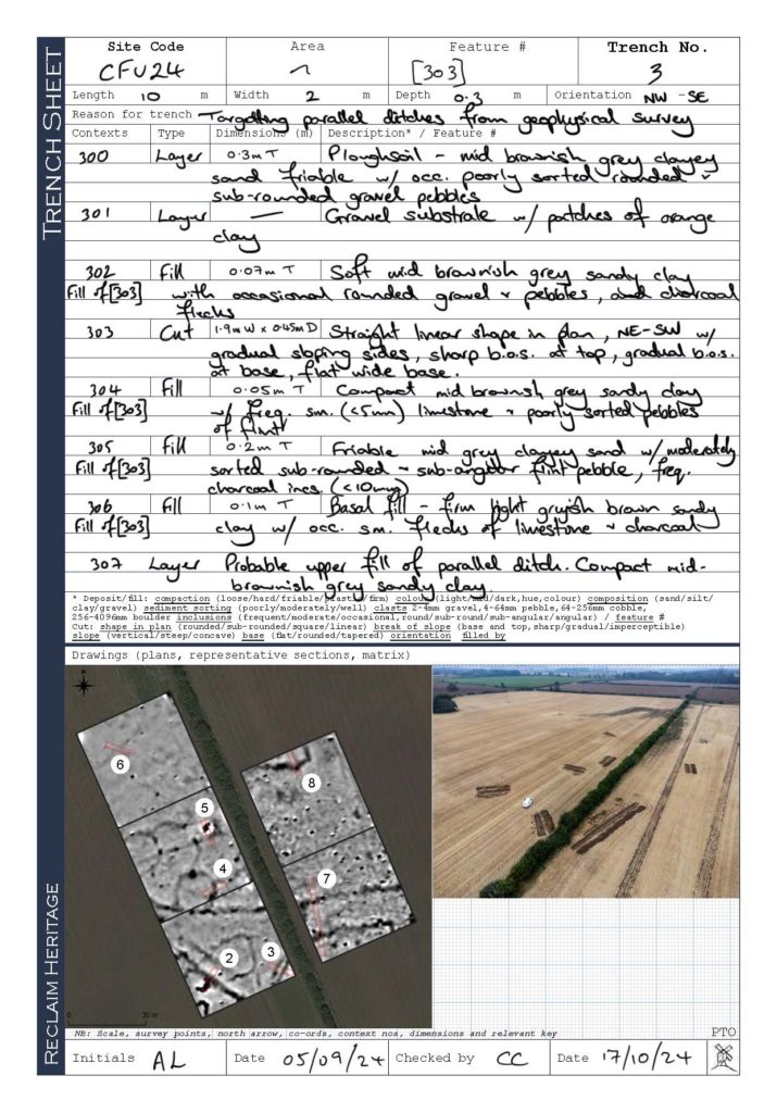
Trenches 3, 6, 7 and 8 were excavated such that the long ‘ditch’ features would be investigated. Trenches 2 and 5 were positioned over high magnetic anomalies, possibly indicating high temperature activity like an oven. Trench 4 was placed to explore the circular features in the western part of the survey area.
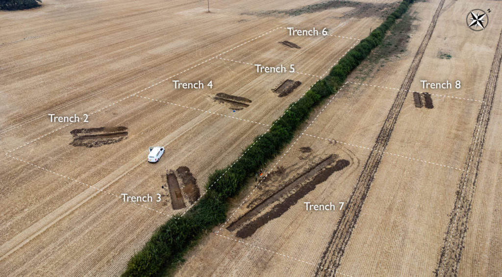
Beneath the 0.3m thick modern ploughsoil was the gravel substrate, formed in the Mid Pleistocene between 860 and 116 thousand years ago. Since then (and before this year’s ploughing) humans have been constructing things like buildings and altering field boundaries for thousands of years. By investigating the remains found in the holes they dug we have been able to date most of the activity to two distinct phases of settlement: the Iron Age (500BC – 200 BC) and the Roman period (3rd century AD).
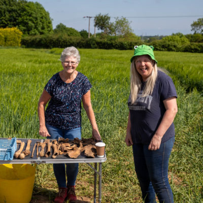
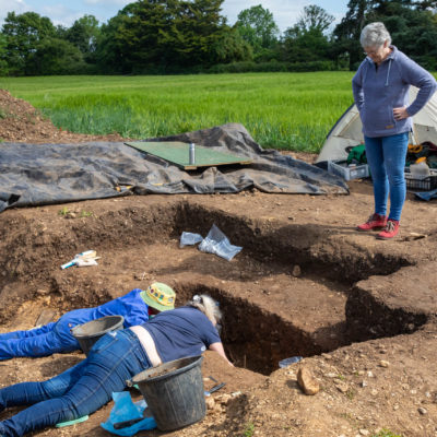
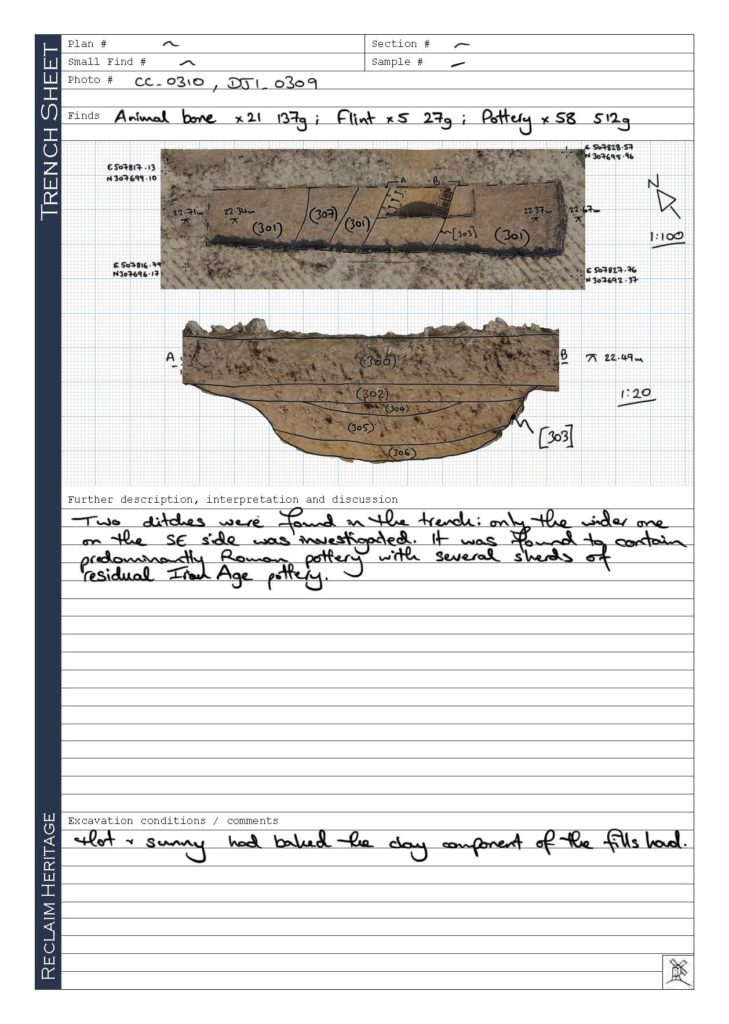
Archaeological remains were found in all seven machine excavated trenches. Of these, three (Trenches 2, 3 and 4) were sample excavated by archaeologists Chris, Claire and Alex. Over 100 pieces of Roman pottery were found in Trenches 2 and 3, mostly scattered throughout the large ditches that were investigated. These features represent the field boundaries as they would have been over 1,700 years ago, enclosing land to the south of what may have been an ancient routeway running east to west.
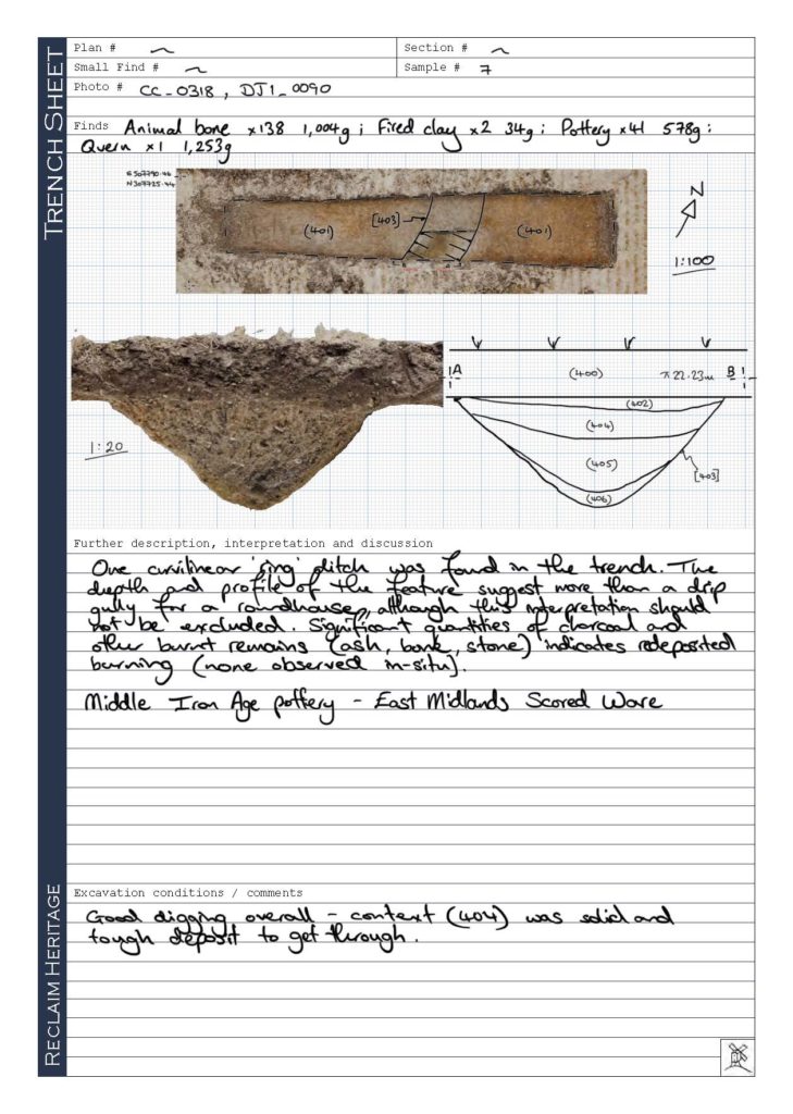
In Trench 4 large sherds of Middle Iron Age pottery along with significant burnt deposits and animal bone were excavated from a 0.6m deep curving ditch. This ditch is the remains of the footprint of a roundhouse measuring roughly 14m in diameter. The pottery type is known as East Midlands Scored Ware, dating the feature to the Middle Iron Age, up to 2,500 years ago, and hundreds of years before Roman Britain. The geophysical survey shows at least one other circular shape to the northwest, and it is likely further roundhouses extend beyond the survey area.
The excavation finds and environmental samples are being examined by specialists to work out what more we can say about the people who left them. This page will be updated when further information is available.
Site records
Trench 2
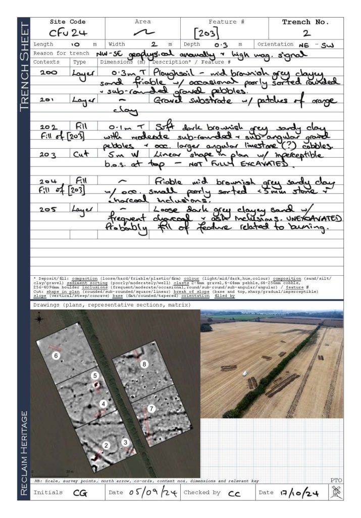
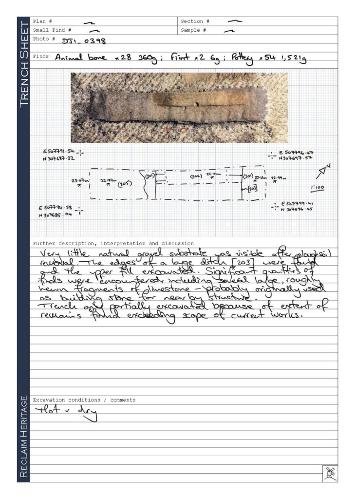
Trench 3
Trench 4
