Survey
Non-invasive solutions for archaeological research
We work collaboratively with clients to deliver precise measured building surveys, digital scanning, and 3D modelling services.
Our GPR and magnetometry services provide non-invasive solutions for exploring and mapping archaeological sites with precision.
Our LiDAR, GIS, and aerial investigation services deliver precise, high-resolution mapping and spatial analysis.
3D Laser Scanning & Photogrammetry
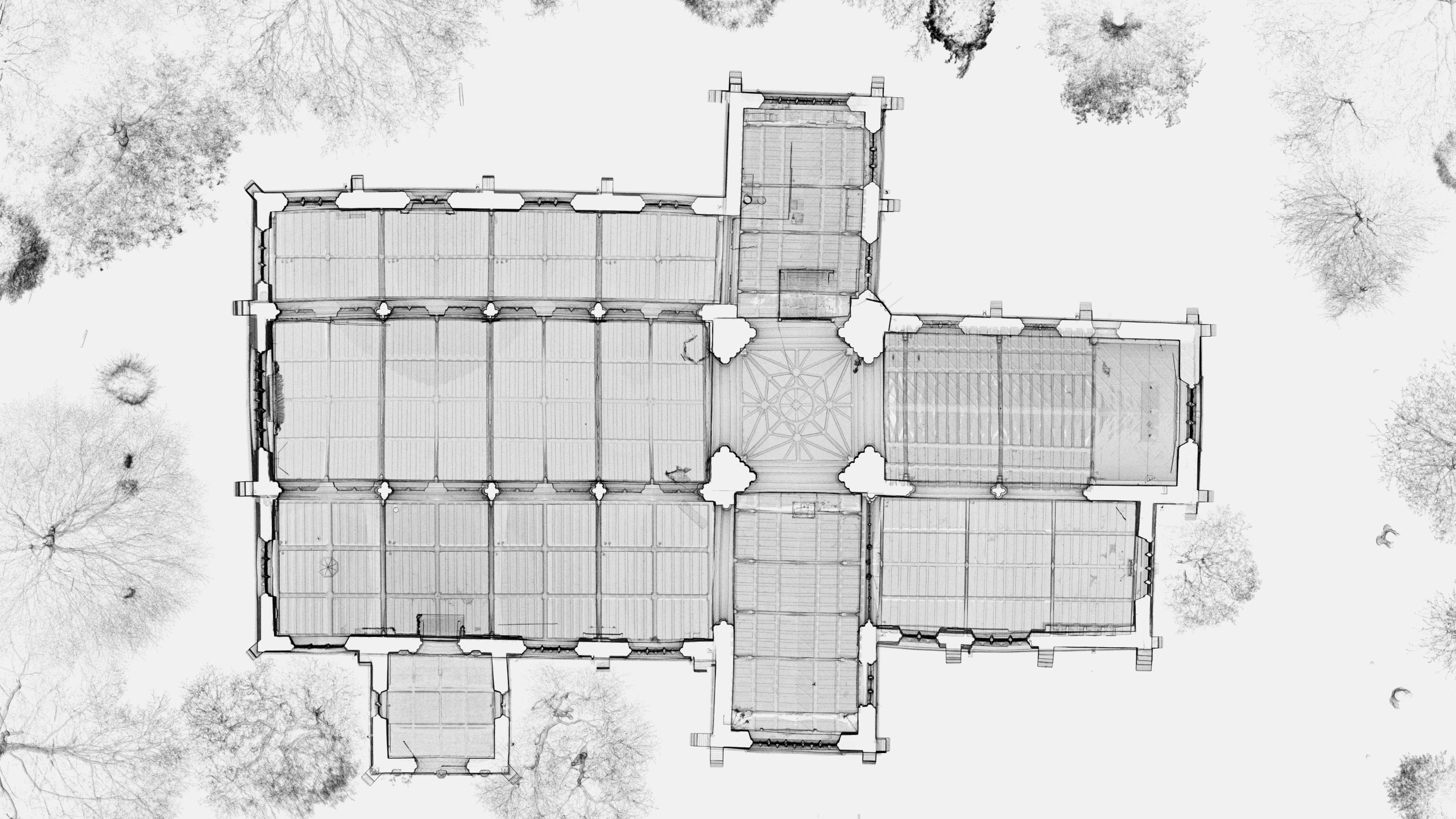
Our 3D laser scanning and photogrammetry services provide detailed recording of archaeological finds, sites and landscapes. We can capture micro features and topographies from distance. Utilising cutting-edge scanning technology and high-resolution imaging, we assist researchers in creating accurate 3D models, maps, and reconstructions with minimal impact.
We also offer Reflectance Transformation Imaging (RTI) and high resolution photography to enhance subtle surface relief.

Geophysical Survey
Ground Penetrating Radar (GPR)
Our GPR services offer precise, non-invasive exploration of archaeological sites, detecting buried structures and features without disturbing the ground. Using advanced radar technology, we help researchers map subsurface layers and identify areas of interest with minimal impact.
We offer standard, single antenna surveys as well as high resolution, multi-channel array surveys. Trust our expertise to support your research while preserving the integrity of the site.

Magnetic Gradiometer
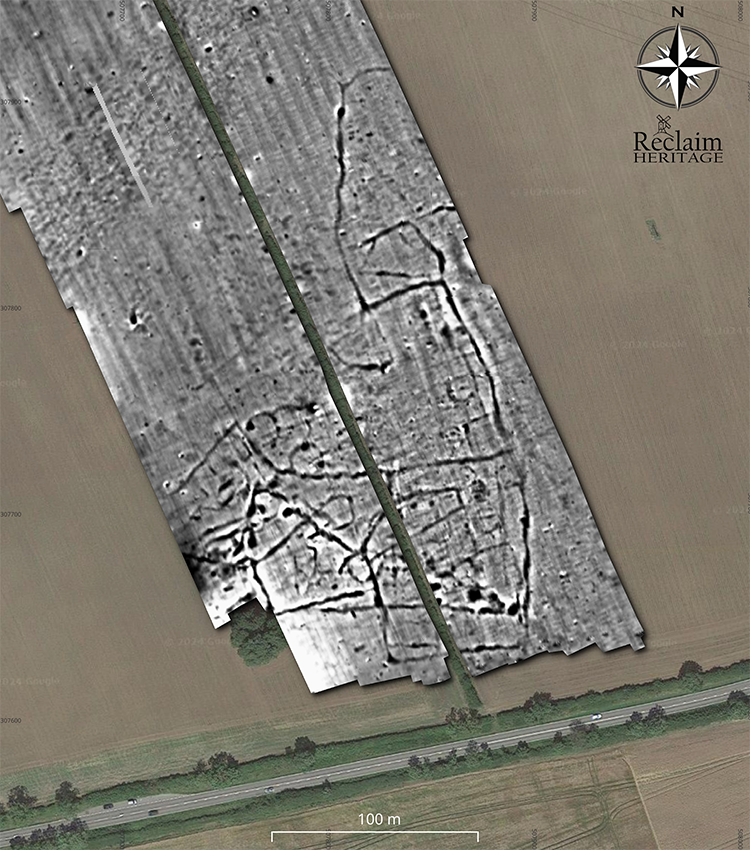
Our magnetometry services provide a non-invasive method for detecting buried archaeological features by measuring small magnetic variations in the soil. This sophisticated technique enables the precise identification of structures and traces of past human activity, such as walls, ditches, and postholes, offering valuable insights without requiring excavation.
We offer single, double and multi-sensor cart configurations, so we have you covered no matter the size of survey.
LiDAR & Digital Mapping
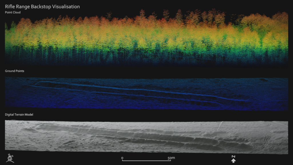
Our LiDAR, GIS, and aerial investigation services provide comprehensive tools for detailed site analysis and mapping. Using LiDAR and digital mapping, we capture high-resolution topographic data to reveal subtle landscape features.
Our GIS services enable the organization, visualization, and analysis of spatial data, giving deeper insights into site context. Aerial investigation and reconnaissance provide an expansive view of the terrain, supporting efficient identification of features and patterns across large areas. These integrated technologies deliver precise, non-invasive methods to enhance your project’s understanding and documentation of the landscape.
